Maps Made Easy
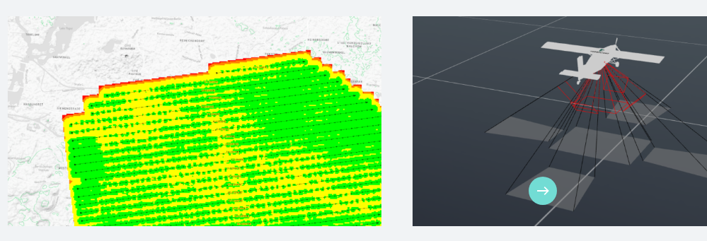
Collect better data for better results on any photogrammetry software or cloud processing solution! Compatible with DJI and Autel drones. All new and completely upgraded based on over 6 years of Map Pilot feedback. Map Pilot Pro helps you create and fly the optimal flight path to create great maps using the Maps Made Easy map processing service. Process into the final product using your own photogrammetry software or our Maps Made Easy online service. Mapping has never been easier. All flight logs and mission planning can be synced with Maps Made Easy's FlightSync system for enhanced debugging and troubleshooting to help users create the best maps around. Map Pilot Pro is a companion app intended for collecting data for the Maps Made Easy processing platform. Take control of your aerial maps. You collect the imagery. We'll handle the rest.
Learn more
AeroGCS
AeroGCS is an advanced Ground Control Station (GCS) software developed by AeroMegh, designed to facilitate precise and efficient drone mission planning and execution. This software provides end-to-end support for drone flight control, mission automation, and data capture. It enables users to create detailed flight plans, manage drone fleets, and ensure compliance with regulatory standards. AeroGCS offers multiple editions tailored for specific applications, such as precision agriculture, drone surveying, and large-scale fleet operations. The platform features a user-friendly interface, real-time flight tracking, and seamless cloud integration, making it a reliable tool for industries like agriculture, construction, defense, and environmental monitoring. By streamlining mission planning and operational workflows, AeroGCS enhances efficiency, accuracy, and overall productivity in drone-based projects.
Learn more
Pix4D
The only drone mapping & photogrammetry software tools with a flight app, desktop, and cloud platforms. Rely on Pix4D’s processing algorithms to get the survey-grade results you expect. Choose the AutoGCPs feature for even greater accuracy. Get an instant view of any jobsite from anywhere, on your browser, in 2D and 3D, with results you can measure, explore, compare, share and collaborate on. Keep a permanent and up-to-date record of the project and resolve disputes efficiently. Capture images or point clouds with a drone or any laser scanner. When using a drone, automate and optimize your flights with the free PIX4Dcapture mobile app. Use the combined power of images and point clouds to extract key elements from photogrammetry, laser scanning or LiDAR data. Survey curbs, building footprints, walls, catenary curves and more. Work 50% faster when you vectorize from point clouds and verify in images, while the Smart Grid saves 1,000s of clicks creating spot elevations.
Learn more
LP360
LiDAR & photogrammetry 3D point cloud software. Whether it's airborne or terrestrial collected LIDAR data, 3D point clouds have become a critical element in mapping. LP360, an advanced desktop LIDAR software package, makes easy work of extracting information and generating deliverables in an intuitive GIS environment.
Process, analyze, and maximize drone survey data, producing valuable information and deliverables. A full geospatial workflow for your LiDAR and Imagery data with visualization, QA / QC tools, Classification, 3D editing and analysis capabilities.
LP360 Cloud is an ever-growing collection of cloud-based tools and resources that will make it easy for you to manage, archive, share and collaborate on geospatial projects. As is true with all LP360 software, we are always building it around you; see below for the latest that LP360 Cloud has to offer.
Learn more